Blue Peak Surveying
Blue Peak Survey

Boundary/Topographic Survey
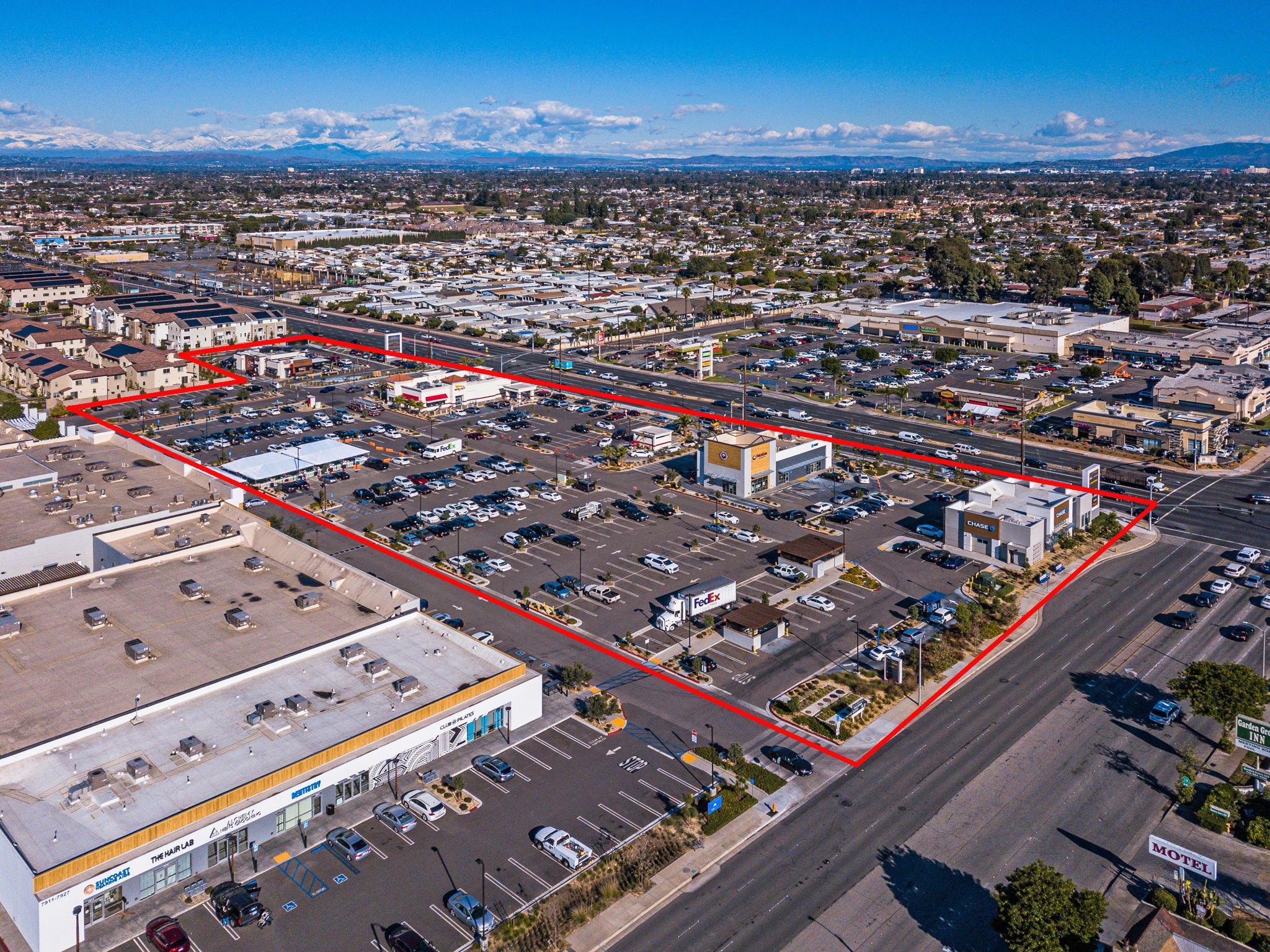
Before buying, dividing, improving, or building on land, a boundary and/or topographic survey is often required. Through Blue Peak’s consultant team, we can provide surveying services in all states we are registered in. No need to add another step, let our project managers take care of this for you.
ALTA Survey
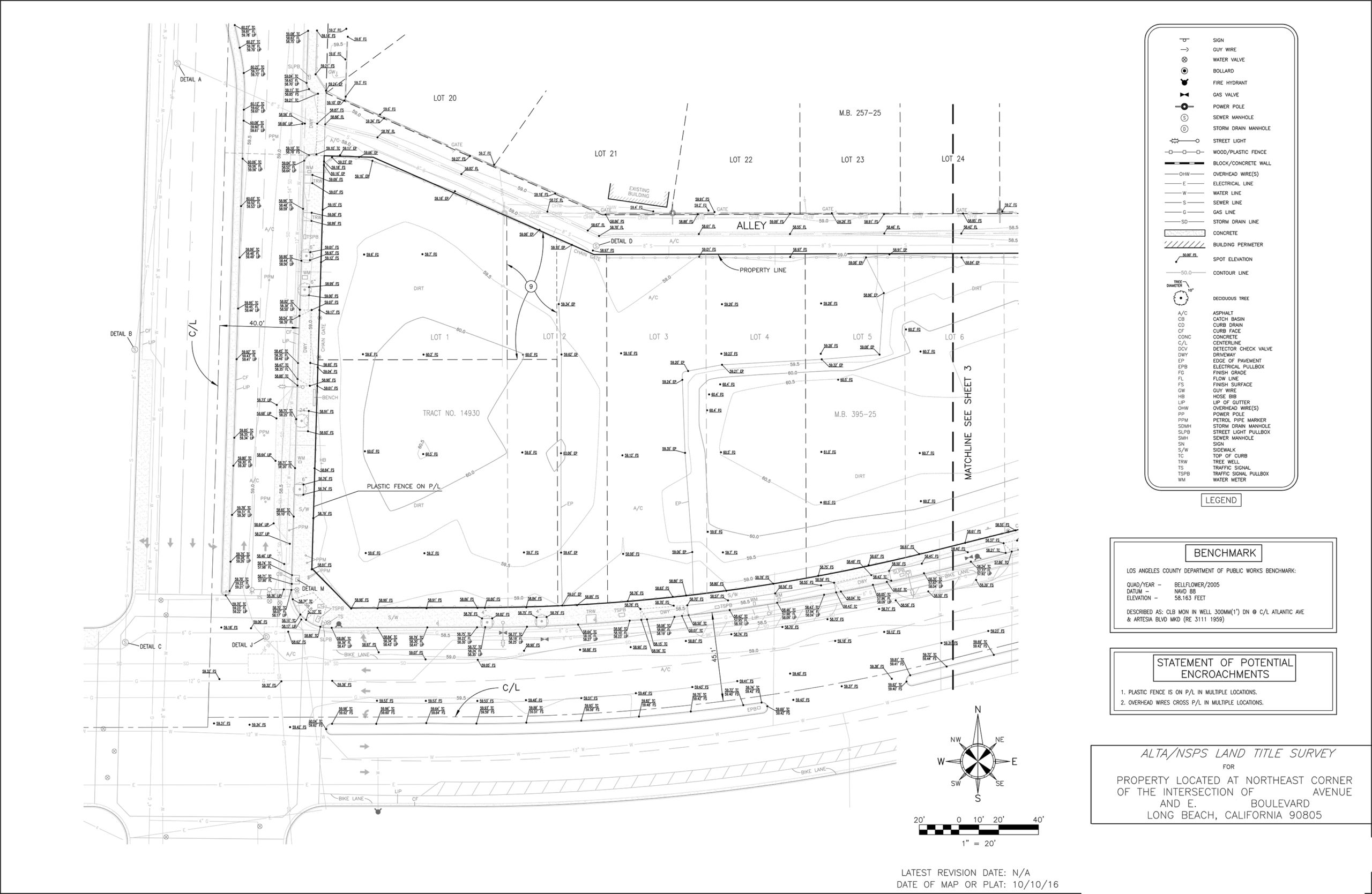
If needed for your project, our team can provide an ALTA survey prepared in accordance with the standards adopted by the American Land Title Association and the National Society of Professional Surveyors. An ALTA survey will provide thorough information on the boundaries, real property, easements, encroachments, liens, and land ownership data of the property.

Mapping
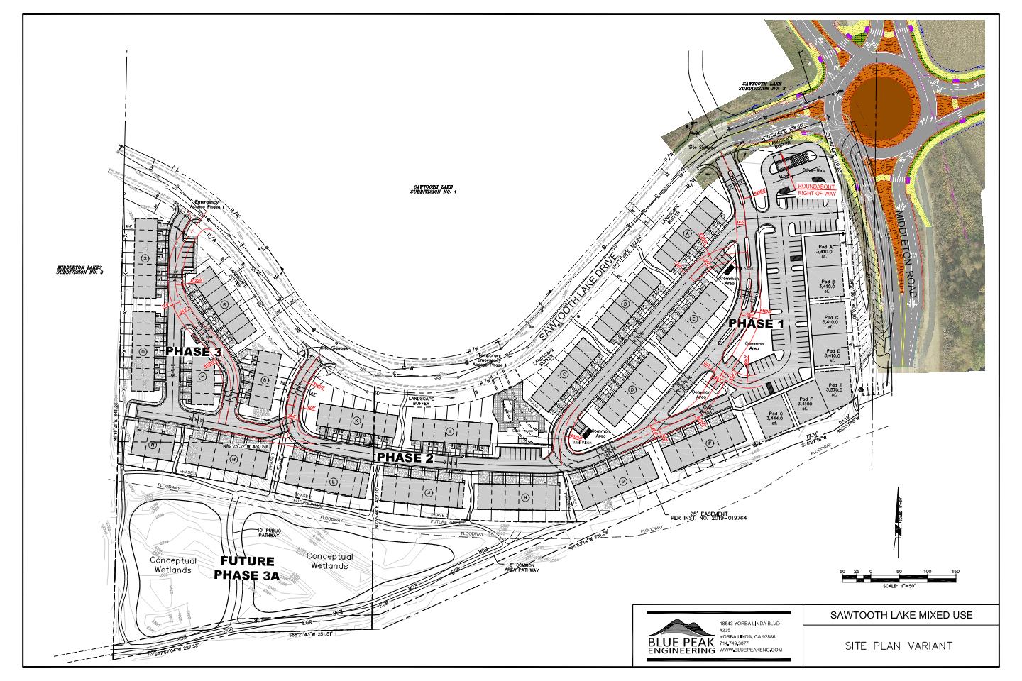
Aerial mapping, platting, lot line adjustments and lot splits are all ways Blue Peak Engineering’s team can help landowners improve their land. The mapping process is integral to the development of a site, and we can help you determine the right method for you. We will help make the process smooth and get your mapping needs completed in a sensible timeframe.
